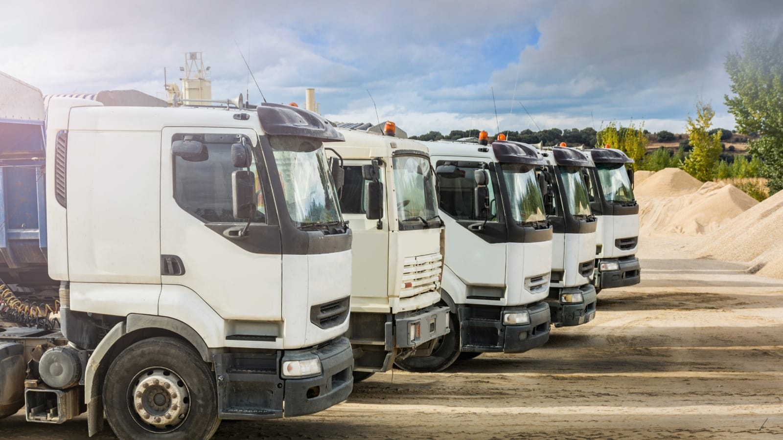
GPS & Fleet Management
World-leading Israeli technology with over 2.6 million connected vehicles in 26 countries. Complete tracking, telematics, fuel and driver behavior solution.
In short
Endeavant is the official representative in Peru of Ituran (NASDAQ: ITRN), the Israeli company with more than 2.6 million connected vehicles across 26 countries. The solution covers GPS tracking, engine telemetry, geofences, fuel control and driver scoring, with in-house installation and technical support in Peru.
Official Ituran Representatives in Peru
Ituran Location and Control Ltd. (NASDAQ: ITRN) — World-leading Israeli telematics company with over 25 years of experience and presence in 26 countries.
+2,6 M
Vehículos conectados
+26
Países
+25
Años de operación
43 M
Km diarios analizados
8 Solutions in One Platform
Everything you need to manage your fleet from one place
GPS Tracking
Ubicación en tiempo real con precisión satelital. Histórico de recorridos completo.
Telemetría
Datos de motor en tiempo real: velocidad, RPM, temperatura vía OBD/CAN Bus.
Control de Combustible
Monitoreo de consumo, detección de robo y alertas por consumo anormal.
Comportamiento
Ranking de conductores. 20 tipos de maniobras detectadas por acelerómetro.
Geocercas
Zonas virtuales personalizables con notificaciones automáticas.
Mantenimiento
Gestión preventiva por kilometraje, tiempo u horas de motor.
Temperatura
Control de cadena de frío para flotas refrigeradas.
Última Milla
Optimización de rutas, ETAs y reportes de eficiencia.
Installation & Operation
How does the Ituran GPS work?
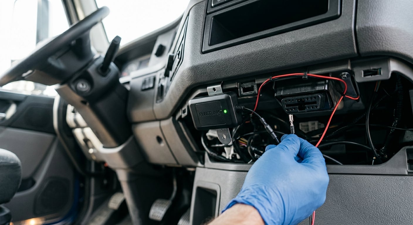
Our technical team installs the GPS device directly into the vehicle's electrical system. Once active, it transmits real-time data to the management platform.
Professional installation
A certified technician installs the GPS device under the vehicle dashboard, connecting it to the electrical system and OBD/CAN Bus port for telematics data.
4G cellular connection
The device transmits position, speed, engine data and alerts every 10 seconds via 4G cellular network with nationwide coverage.
Web platform and mobile app
All information is centralized in the Ituran platform: real-time map, route history, geofences, reports and driver rankings.
Alerts and notifications
Receive instant alerts for speeding, geofence exits, after-hours usage, harsh braking and more, directly on your phone or email.
Why choose this product?
- Rastreo GPS con actualización cada 10 segundos
- Geocercas ilimitadas con alertas de entrada y salida
- Control de combustible con detección de drenajes
- Ranking de conductores con 20 tipos de maniobras
- Inmovilización remota del vehículo en caso de robo
- Plataforma web + app móvil incluida en el servicio
- Reportes automáticos de uso, kilometraje y horas
- Tracking de remolques y activos no motorizados
Web Platform + Mobile App
Your fleet in the palm of your hand
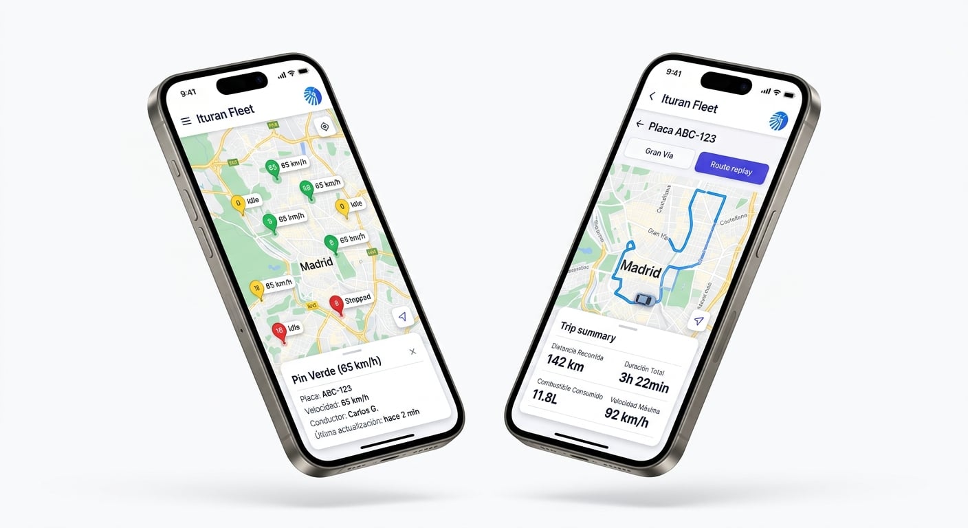
Access all your fleet information from any device. The Ituran Fleet mobile app lets you monitor vehicles, review routes and receive real-time alerts.
- Real-time map with each vehicle's status (moving, stopped, idle)
- Route replay with distance, duration, fuel and max speed summary
- Push notifications for critical alerts directly on your phone
- Available for iOS and Android, included at no extra cost with the service
Driver Scoring
Measure and improve your fleet's driving behavior
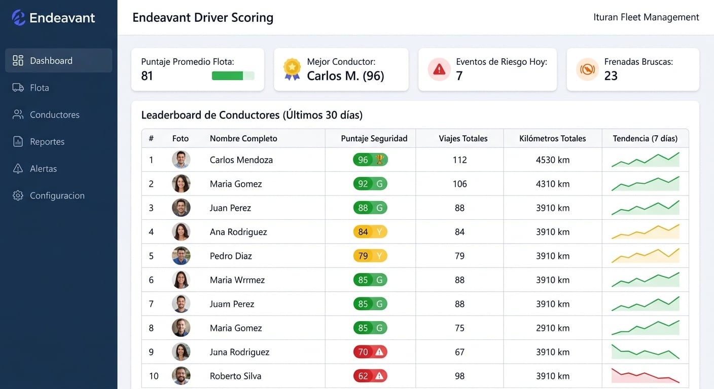
The system evaluates each driver with a safety score based on their driving maneuvers. Identify top performers and train those who need improvement.
- Score from 0 to 100 per driver based on 20 types of maneuvers
- Fleet-wide leaderboard updated daily
- Detection of harsh braking, acceleration, speeding and dangerous turns
- 7-day trend to visualize improvement or deterioration
- Automated reports for incentive and training programs
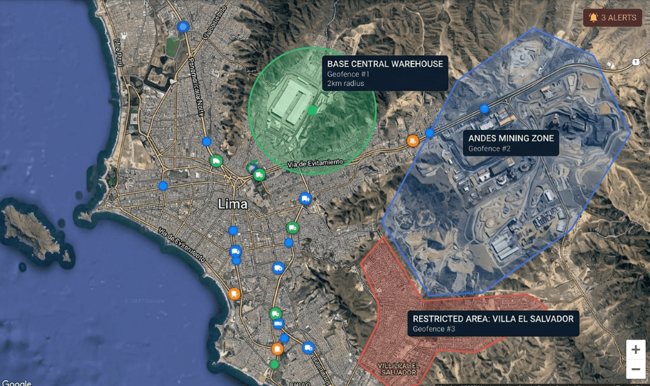
Geofences & Zone Control
Control where your vehicles operate
Define authorized, restricted and operational zones on the map. The system automatically notifies when a vehicle enters or exits any configured geofence.
- Unlimited circular and polygon geofences
- Instant entry and exit alerts by zone
- Restricted zones with violation notifications
- After-hours usage control
- Complete dwell time history by zone and vehicle
Industries We Serve
- Distribución y Logística
- Transporte de Carga
- Minería
- Construcción
- Agricultura
- Courier y Última Milla
- Alquiler de Vehículos
- Farmacéutica
- Gobierno
Request a Quote
Equipo, instalación, plataforma y soporte. Modelo de equipo más fee mensual.