
Fleet GPS · Peru
GPS for truck fleets in Peru
A fleet GPS is a tracker fitted to each unit that reports position, speed and engine data every 10 seconds over 4G. From the web platform and the app you see where each truck is, where it went, whether it left its zone and how it was driven. Endeavant installs and supports it across Peru.
Features
Fleet GPS system: what it controls
A fleet GPS system goes beyond a dot on the map: it reads engine data over OBD / CAN Bus, warns when a unit leaves its route or speeds, and keeps every trip stored to review later.
Real-time tracking
Position every 10 seconds, speed and route history.
Geofences
Zone entry and exit alerts, no limit on how many.
Speed and route alerts
Speeding by zone, schedule and route, to phone or email.
Driver behavior
A 0 to 100 score on 20 maneuver types.
Engine telematics
Speed, RPM and temperature via OBD / CAN Bus.
Fuel
Consumption per unit and abnormal-use alerts.
Maintenance
Preventive by mileage, time or engine hours.
Remote immobilization
To stop the unit in case of theft.
The tracker
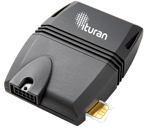
GPS tracker wired to the electrical system
The tracker sits under the dashboard, wired to the electrical system and the OBD / CAN Bus port, and transmits over a nationwide 4G cellular network. The hardware is made by Ituran, where you will find the device and service detail.
- Position every 10 secondsWith speed, engine data and alerts.
- Installed in under 45 minutesPer vehicle, by an Endeavant technician.
- TrailersLocation of trailers that change tractors.
Fleet tracking
How to track a fleet: from the dashboard to the map
Tracking a fleet takes four steps: install the tracker on each unit, set up zones and alerts, follow the operation on the map of the web platform or the app, and review alerts and reports. How to choose the system is in the fleet GPS guide for Peru.
- InstallationUnder the dashboard, in under 45 minutes per vehicle.
- SetupGeofences, speed limits, schedules and users.
- MonitoringLive map with each unit's status and route playback.
- Alerts and reportsSpeeding, geofence, after-hours and harsh braking; usage, mileage and hours.
Geofences
Geofences: virtual zones with alerts
A geofence is a virtual zone drawn on the map, such as a yard, a customer site or an approved route. The system warns on its own when a unit enters or leaves, and logs how long each vehicle stayed in each zone.
Circular and polygonal
No limit on how many.
Restricted zones
Entry notification.
Schedule
Use outside working hours.
 Endeavant Cloud · simulated data
GPS and cameras
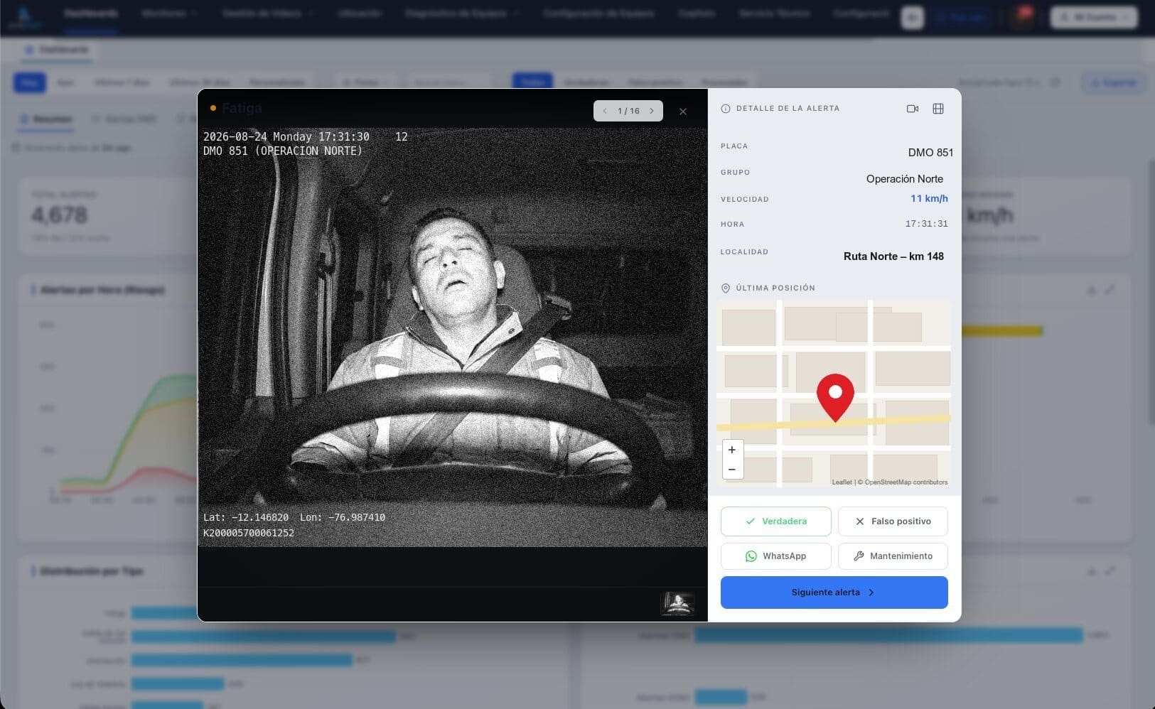
From GPS to video telematics: the event with its video
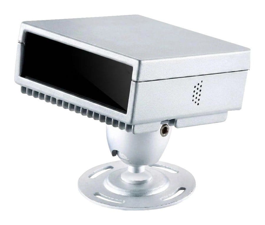
GPS tells you where the unit is and how it is driven; it cannot see whether the driver is falling asleep. With Endeavant smart cameras every event reaches Endeavant Cloud with its video, location and shift driver. That is video telematics for fleets.
- In-cab alertFatigue, distraction and collision risk, with voice and vibration.
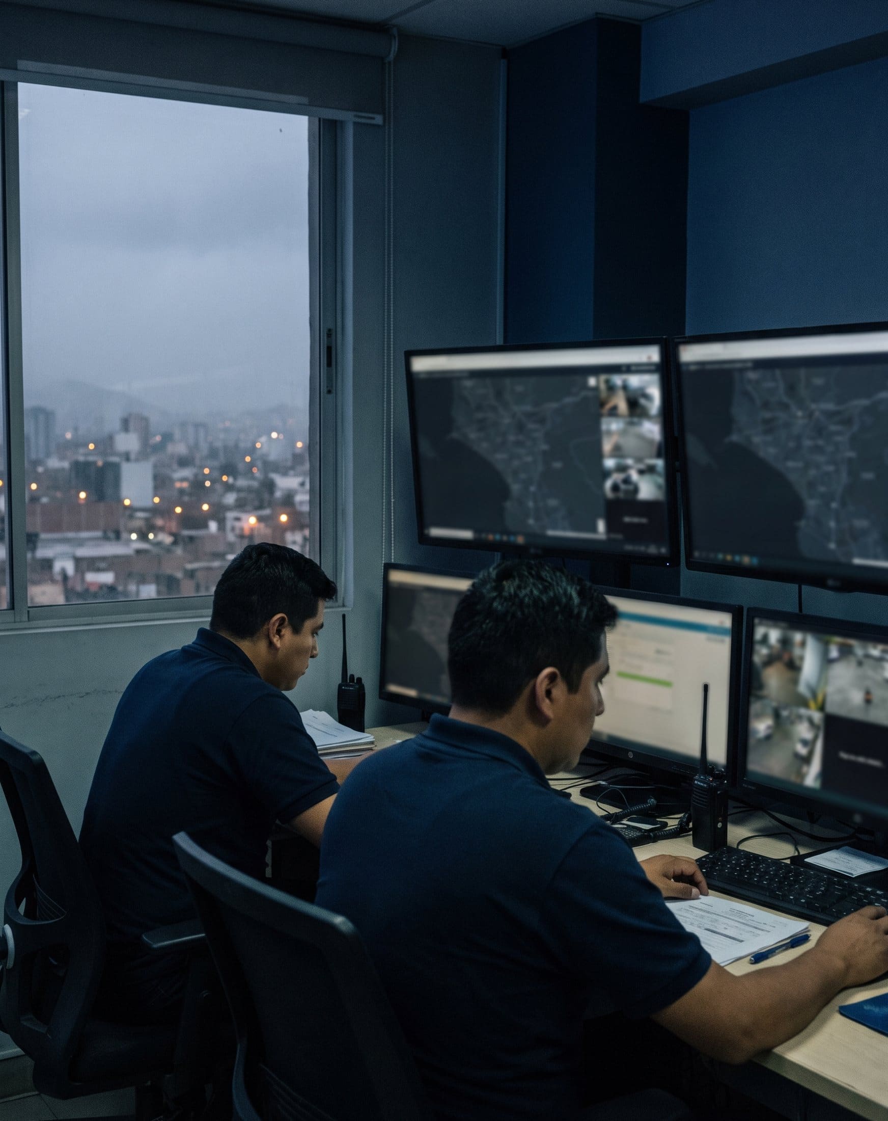
- 24/7 validationEndeavant's Control Center reviews every event.
Service
What the service includes
Fleet GPS is contracted as hardware plus a monthly service: the service covers the platform, cellular data and technical support. It works from one unit to fleets of thousands.
| Includes | Detail |
|---|---|
| GPS tracking | Updated every 10 seconds |
| Geofences | Entry and exit alerts |
| Drivers | Score on 20 maneuver types |
| Access | Web platform and mobile app (iOS and Android) |
| Reports | Usage, mileage and hours, automatic |
| Rollout | Installation, configuration and training |
| Warranty | Equipment and labor |
FAQ
Fleet GPS FAQ
Which GPS works for tracking trucks?+
How do you track a fleet?+
What is a geofence?+
Does it work without signal?+
How long does installation take?+
Also for your fleet
Video, platform and monitoring
Brochure and quote
Get the fleet GPS brochure
We email you the brochure right away. Tell us how many units you have and what you want to control and we will put together the quote.

Powered in Perú by
Endeavant S.A.C.